

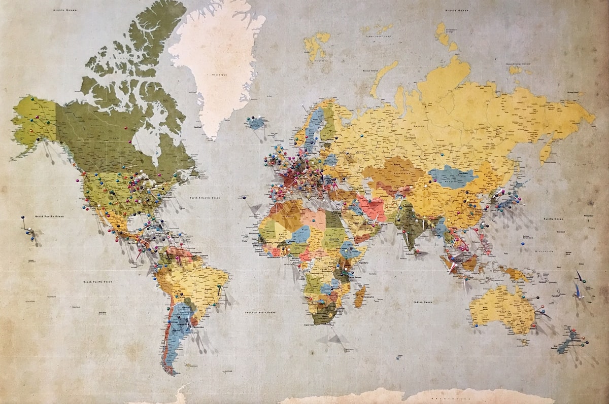
The Gauss-Krüger coordinate system is a map-projection system used primarily in Germany and other European countries. It is a type of transverse Mercator projection known for its high precision over short distances.
Fundamentals of the Gauss-Krüger Coordinate System
Transverse Mercator Projection
The Gauss-Krüger system uses the transverse Mercator projection, which means the cylindrical projection is rotated by 90 degrees. This allows for better accuracy over long north-south extents.
Ellipsoid
The system is based on an ellipsoidal model of the Earth, which is more accurate than a spherical model. In Europe, the Bessel 1841 ellipsoid is commonly used.
Zones
The Gauss-Krüger system divides the area into longitudinal zones with a width of 3°. Each zone has its own central meridian. This helps reduce distortion within each zone. Zone numbering usually begins at a prime meridian (often 9°E or 15°E) and increases by 3° for each zone.
Coordinates
Coordinates are expressed in meters. The system uses false easting and false northing values to ensure that all coordinates within a zone are positive.
- Easting (X): Measured in meters from the central meridian of the zone.
- Northing (Y): Measured in meters from the equator.
Accuracy and Use
The Gauss-Krüger system is advantageous for large-scale (detailed) maps because of its high accuracy over short distances. It is widely used in civil engineering, cadastral mapping, and various geodata applications in Germany and neighboring countries.
Converting Gauss-Krüger coordinates to the globally used WGS84 system (which is used in GPS) requires specific transformation parameters and sometimes complex algorithms because of differences in ellipsoid and projection methods.
History of the Gauss-Krüger Coordinate System
Carl Friedrich Gauss (1777–1855)
Carl Friedrich Gauss, a German mathematician and physicist, made significant contributions to geodesy — the science of measuring and understanding the Earth’s geometric shape. Gauss developed the mathematical foundations for the transverse Mercator projection, which is essential for creating accurate maps of regions with a large north-south extent.
Gauss’s work on the transverse Mercator projection provided a method for projecting the Earth’s surface onto a plane with minimal distortion across relatively small areas. This projection uses a cylinder rotated by 90 degrees that touches the Earth along a selected meridian.
Johann Heinrich Louis Krüger (1857–1923)
Johann Heinrich Louis Krüger, a German geodesist, refined Gauss’s projection method and applied it to practical mapping requirements. Krüger’s refinements improved the mathematical accuracy of the projection, making it better suited to detailed surveying and mapping work.
Development and Spread
The Gauss-Krüger coordinate system was adopted primarily in Germany and other Central European countries for detailed topographic and cadastral mapping. The system divides the region into longitudinal zones, each 3° wide with a central meridian, which minimizes distortion and ensures high accuracy across small areas.
Technical Properties
False easting and northing: The system applies false easting and northing values to ensure that all coordinates within a zone are positive. Typically, a false easting of 500,000 meters is assigned to the central meridian and a false northing to the equator.
Zone-based system: Each zone has its own coordinate system, which reduces the complexity of calculations and distortions.
How Do You Convert Gauss-Krüger Coordinates to UTM Coordinates?
Converting Gauss-Krüger coordinates to UTM coordinates requires several steps because, although both systems are based on the transverse Mercator projection, they use different parameters and zone definitions.
Step-by-Step Conversion Process
Identify the Gauss-Krüger zone: Determine the Gauss-Krüger zone of your coordinates (typically 3° wide).
Determine the central meridian of the Gauss-Krüger zone: Usually a multiple of 3° (e.g., 9°E, 12°E, 15°E).
Translate to geodetic coordinates: Convert the Gauss-Krüger coordinates (easting and northing) to geodetic coordinates (latitude and longitude). For this you need:
- The ellipsoid parameters (e.g., Bessel 1841 for Germany)
- The false easting (usually 500,000 meters)
- Application of the inverse transverse Mercator projection
Determine the UTM zone: From the geodetic coordinates, determine the appropriate UTM zone for the longitude (UTM zones are 6° wide).
Convert to UTM coordinates: Convert the geodetic coordinates to UTM coordinates using the WGS84 ellipsoid parameters and the central meridian of the UTM zone.
Example Conversion
Given: Gauss-Krüger coordinates: Easting = 3,550,000 m, Northing = 5,800,000 m, central meridian zone 4: 12°E
Steps:
- Inverse Gauss-Krüger projection yields, for example: latitude 52.0°N, longitude 13.0°E
- Longitude 13.0°E falls in UTM zone 33U
- Conversion using WGS84 parameters and central meridian 15°E yields the final UTM coordinates
Online Tools and Software
- Websites such as https://epsg.io/ allow these conversions.
- GIS software (ArcGIS, QGIS) supports the Gauss-Krüger projection and enables easy conversions.
- In Java, the Proj4j library (a Java port of PROJ.4) can be used for cartographic transformations.
Modern Developments
With the advent of global positioning systems (GPS) and the widespread adoption of the WGS84 ellipsoid, many regions have switched to the UTM system for broader compatibility. However, the Gauss-Krüger system is still used in countries such as Germany for specific applications that require high precision and historical continuity.
Modern GIS software supports the Gauss-Krüger projection, enabling easy conversion between coordinate systems and integration with global datasets.
The Gauss-Krüger coordinate system is a significant development in the history of cartography and geodesy. Combining the foundational work of Carl Friedrich Gauss with the practical refinements of Johann Heinrich Louis Krüger, it remains an integral part of the history and practice of geodata in Central Europe.